Old Nordic Maps
Old maps from Northern Sweden (Generalstabskartan) made available in the modern tools
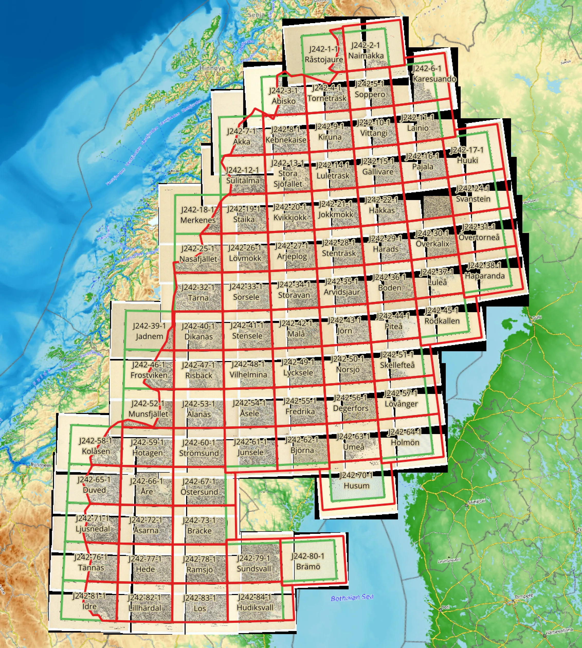
The source map is downloaded from Lantmäteriet as 80 scans, roughly 75 MB each in TIFF format. Lantmäteriet provides also a shapefile with rectangles, showing where these map sheets should end up in the modern coordinates.
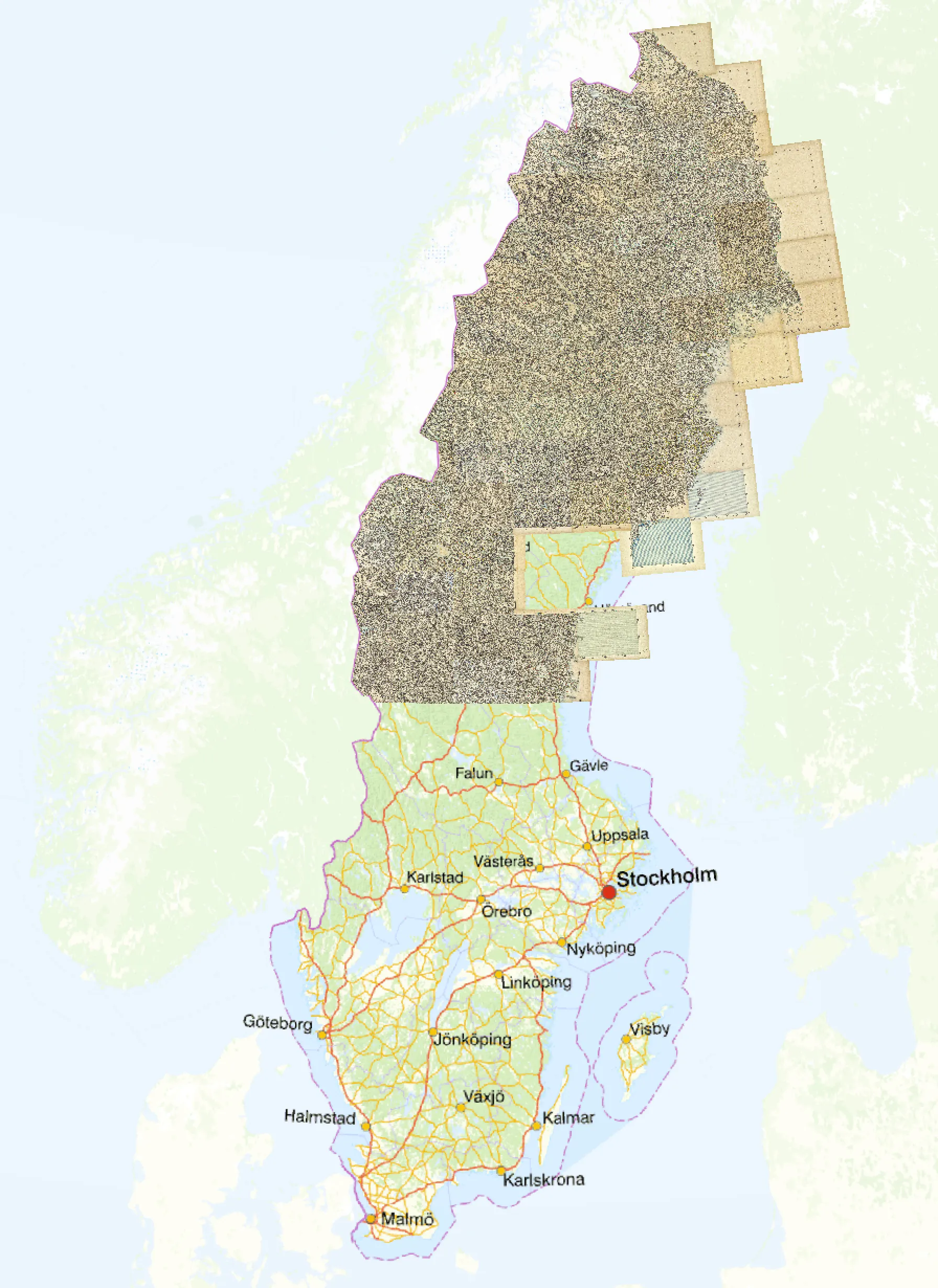
I have manually connected the scanned sheets to the provided rectangles, then manually clipped the margins, assembled the sheets together on a single map and set up a raster tile server.